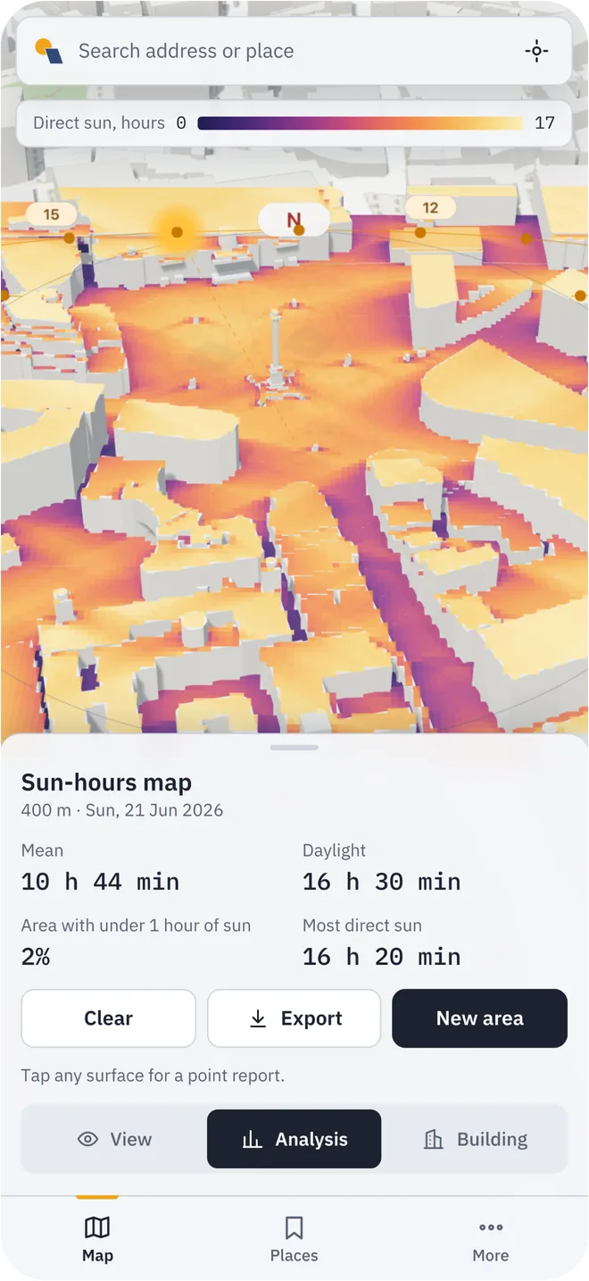
Early in a project the question is simple: what does this volume do to the street, the courtyard and the neighbours? Shadeline answers it on the real surroundings, without building a model first.
Change the height of the building on the plot, run the equinox and the solstices, and compare the sun hours before and after.
What to check
- Shadow on neighbouring facades and public space at the equinox and the solstices
- Hours of direct sun in courtyards and on playgrounds
- The effect of one more floor, or five
- Sky view factor at street level
How to do it
- Open the site and set the date to 21 March, 21 June or 21 December.
- In Building mode, tap the building on the plot and set the proposed height.
- In Analysis, compute a sun-hours map for a 200, 400 or 800 metre area.
- Tap key points for reports and export the figures as CSV. Share the link with the team.